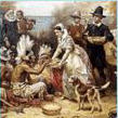
Maps - Charts - Diagrams:
(Check back often as this page will get updated
frequently)
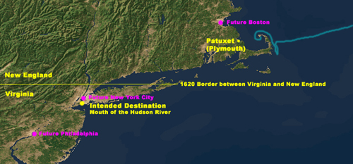
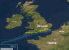
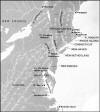
Voyage Path of the Mayflower:
These
images show the path that the Mayflower likely
took during her journey to the New World.
The Mayflower was to have sailed with a ship
named the "Speedwell," but that ship suffered a
number of problems and was not able to sail.
Many of the Speedwell's passengers boarded the
Mayflower, but some went back to their homes and
did not make the journey:

(Click on thumbnail to see larger image)
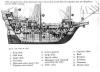
Diagram of the Mayflower:
This cutaway shows the relative layout of the
Mayflower and its passengers:
(Click on thumbnail to see larger image)
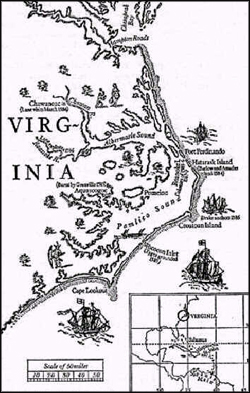
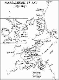
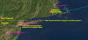
Various Maps:
Showing the progression of the Massachusetts Bay
and other British Colonies:

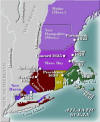
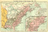
(Click on thumbnail to see larger image)
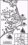
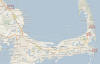
Present Day Cape Cod:
These maps show present day proximity and
location of the towns of Chatham, Eastham, and
Orleans. These are the towns that appear to be
the location of most of the lineage. Also
seen is the proximity of these towns to
Mayflower:
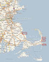
(Click on thumbnail to see larger image)
|